Search your stay
Pick your dates and compare prices and availability. Book in a few steps.
Location
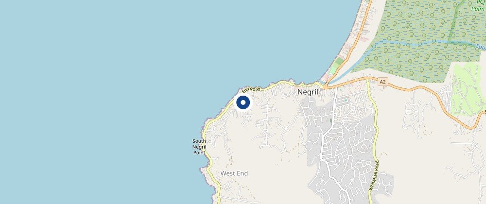
West End, Negril, Jamaica (Google plus code 7JGQ+FJM). On the western tip of the island, about 1.0 km straight-line from the Xtabi cliffs and about 1.2 km from South Negril Point.
 View availability in this area
Map © OpenStreetMap contributors.
- Xtabi (cliffs and caves)About 1.0 km straight-line
- South Negril PointAbout 1.2 km straight-line
- Negril LighthouseAbout 3.1 km straight-line
- Negril townAbout 4.5 km straight-line
How to book
- Choose your destination, dates and guests.
- Compare prices and availability for your dates.
- Book in a few steps and get your confirmation by email.
About Negril, Jamaica
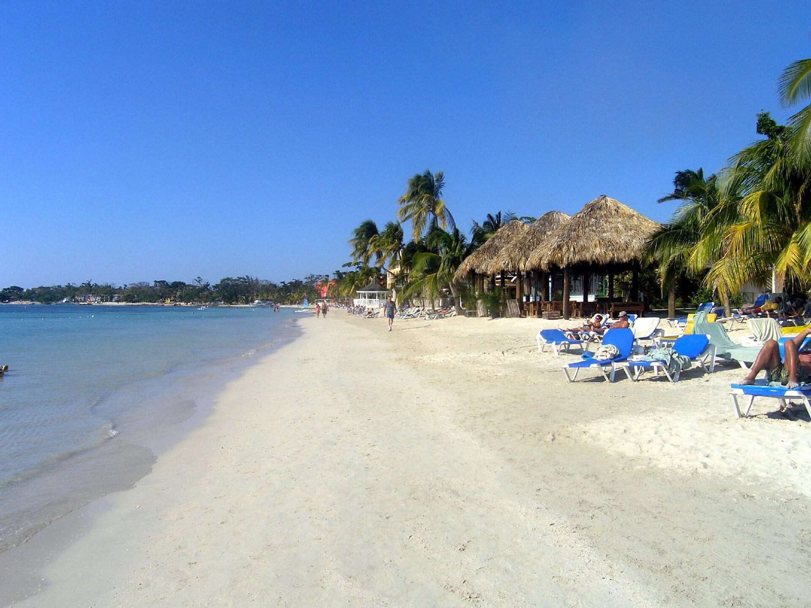
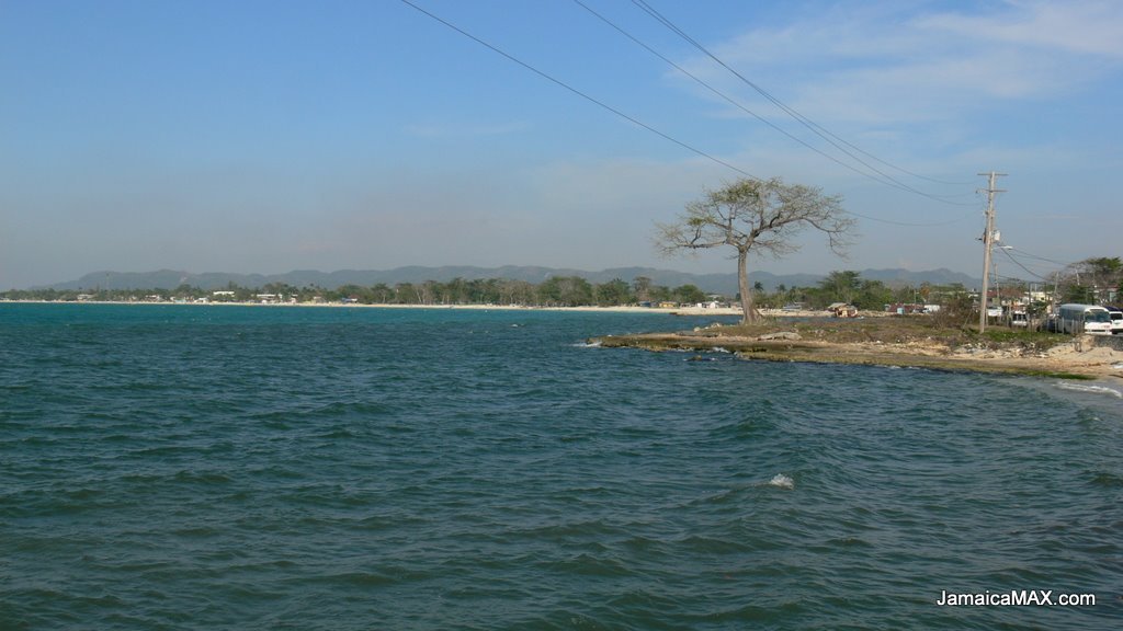
Negril is a small, widely dispersed beach resort town in the far west of Jamaica, between the parishes of Westmoreland and Hanover. It lies about 80 km southwest of Sangster International Airport in Montego Bay. Westmoreland is the westernmost parish of the island, and South Negril Point, a short distance from the West End, is the westernmost point of mainland Jamaica. The cliffs of the West End hold caves and coves carved by the sea, and the Negril Lighthouse has stood in the area since 1894.
What to see nearby
- XtabiA cove on the cliffs of Negril, with a labyrinth of caves and passageways carved from the rock by the action of the sea over thousands of years.
- South Negril PointThe westernmost point of mainland Jamaica, a little south of the town of Negril and a little north of the Negril Lighthouse.
- Negril LighthouseBuilt in 1894 south-southeast of the island's westernmost tip, it is one of the earliest concrete lighthouses.
- NegrilBeach resort town in the far west of Jamaica, spread across the parishes of Westmoreland and Hanover.
- Negril AerodromeSmall airport serving Negril, located north of Negril Point.
Weather month by month
Average maximum (red) and minimum (blue) temperature, and monthly rainfall (light blue bars).
Average of 2023 and 2024. Data: Open-Meteo.com.
Frequently asked questions
What do guests highlight about this accommodation?
According to Google reviews (3.2 out of 5 from 70 reviews), ratings are mixed. Guests who were satisfied mainly mention the friendliness of the owners and staff and the low cost of a simple, basic stay, while others comment on the age and condition of the facilities, so it is best to go with realistic expectations.
Where is it and what is nearby?
It is in the West End area of Negril, on the western tip of Jamaica; Google lists its address as the plus code 7JGQ+FJM. In a straight line, the Xtabi cliffs are about 1.0 km away, South Negril Point about 1.2 km and the Negril Lighthouse about 3.1 km.
What is the best time to visit?
Based on recent years' data, from December to April there is less rain (between 25 and 60 mm per month) and daytime highs are around 30 to 31 °C. From May to November there is more rain, up to 171 mm in June and 166 mm in November. The Atlantic hurricane season runs from June to November.
What is the weather like?
Hot all year: highs of about 30 to 33 °C and lows of about 22 to 25 °C depending on the month. July to September are the hottest months, with highs around 33 °C, and February is the coolest.
How do I book?
Choose your dates and number of guests in the search form on this page. You will see availability and prices, and the booking is completed in a few steps on the booking site.
Money, language and emergency numbers
Jamaica uses the Jamaican dollar (JMD) and English is the official language. For emergencies, the police number is 119 and the ambulance and fire service number is 110.